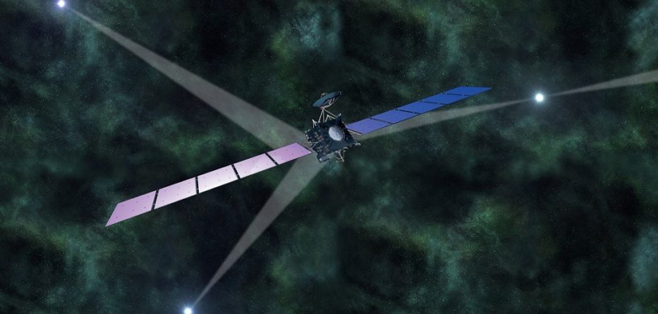
China successfully launched the world’s first X-ray pulsar navigation satellite on Thursday morning, bringing a more precise deep-space GPS system one step closer to reality.
The X-ray pulsar navigation satellite, or XPNAV-1, was launched at the Jiuquan satellite launch center in northwest China.
After entering orbit, the satellite will conduct experiments on X-ray pulsar navigation. This is a technique that uses periodic X-ray signals emitted from pulsars to determine the location of a spacecraft in deep space.
The satellite, developed by China Aerospace Science and Technology Corporation (CASC) Fifth Academy, weighs more than 200 kilograms and carries two detectors.
In its mission, the satellite will test the detectors’ functions in responding to the background noise of the universe, outline pulsar contours, and create a database for pulsar navigation, according to CASC Fifth Academy.
“The successful launch is just the first step. It still takes two months or so for us to test its functionality,” said Xue Lijun, chief scientist behind the research of XPNAV-1 satellite.
WHAT ARE PULSARS?
Discovered in 1967, pulsars are former large stars that have collapsed down into incredibly dense rotating spheres a matter of kilometers in diameter.
They are known as the “lighthouses” of the universe, rotating neutron stars that emit focused beams of electromagnetic radiation visible only if you’re in their path.
These stellar relics get their name for the way their emissions appear to be “pulsating” in space. Neutron stars are very dense, and have short, regular rotational periods.
These produce very precise intervals between pulses that range roughly from milliseconds to seconds for an individual pulsar. Pulsars are believed to be one of the candidates for high and ultra-high energy astro particles.
(adopted from CCTVNews)


